Version 8.0.0
Greenwich v8.0.0 has been released on 26th March, 2021.
Main updated modules are:
- Public Data
- GIS
- Planning and Siting
- UI Optimization
- Bug Fix
Acknowledgements: Special thanks to colleagues who offered great support in our product development:
Qi Gao, Kang Jiang, Zhike Wang, Yunyan Wang.
Please check the user manual via this link.
For more information, please check the following content:
Public Data
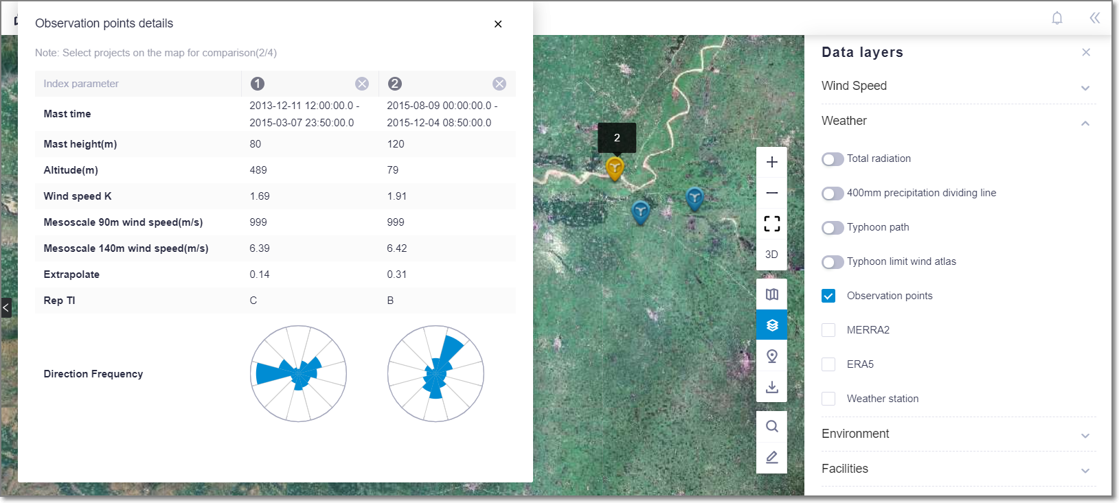
Support comparing the data of multiple observation points to help judge the wind resource indicators in the region, including wind speed, shear, turbulence, and wind direction, etc.
Update airport height district area database.
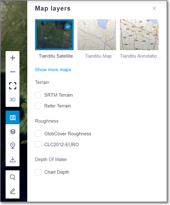
To avoid legal and policy risks, the default GIS is changed to Tianditu map.
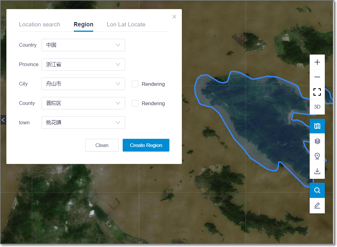
Add township level administrative divisions in region location.
UI Optimization
Support creating objects directly under folders. Operations: Select the folder and click
 in the lower left corner to import files into the folder.
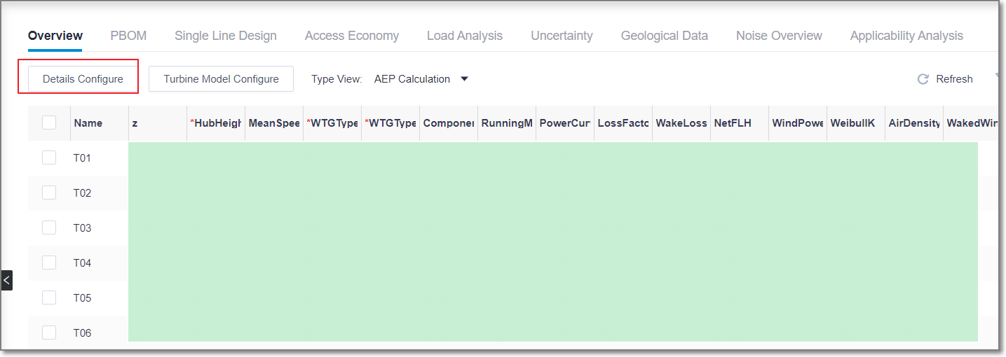
Support batch deletion turbines in WTG overview. Operations: Double-click to open the WTG overview > details configure, batch select turbines, click delete, save.

Support exporting non-wind-field-scope objects.
Allow radix point and dash in mast name.
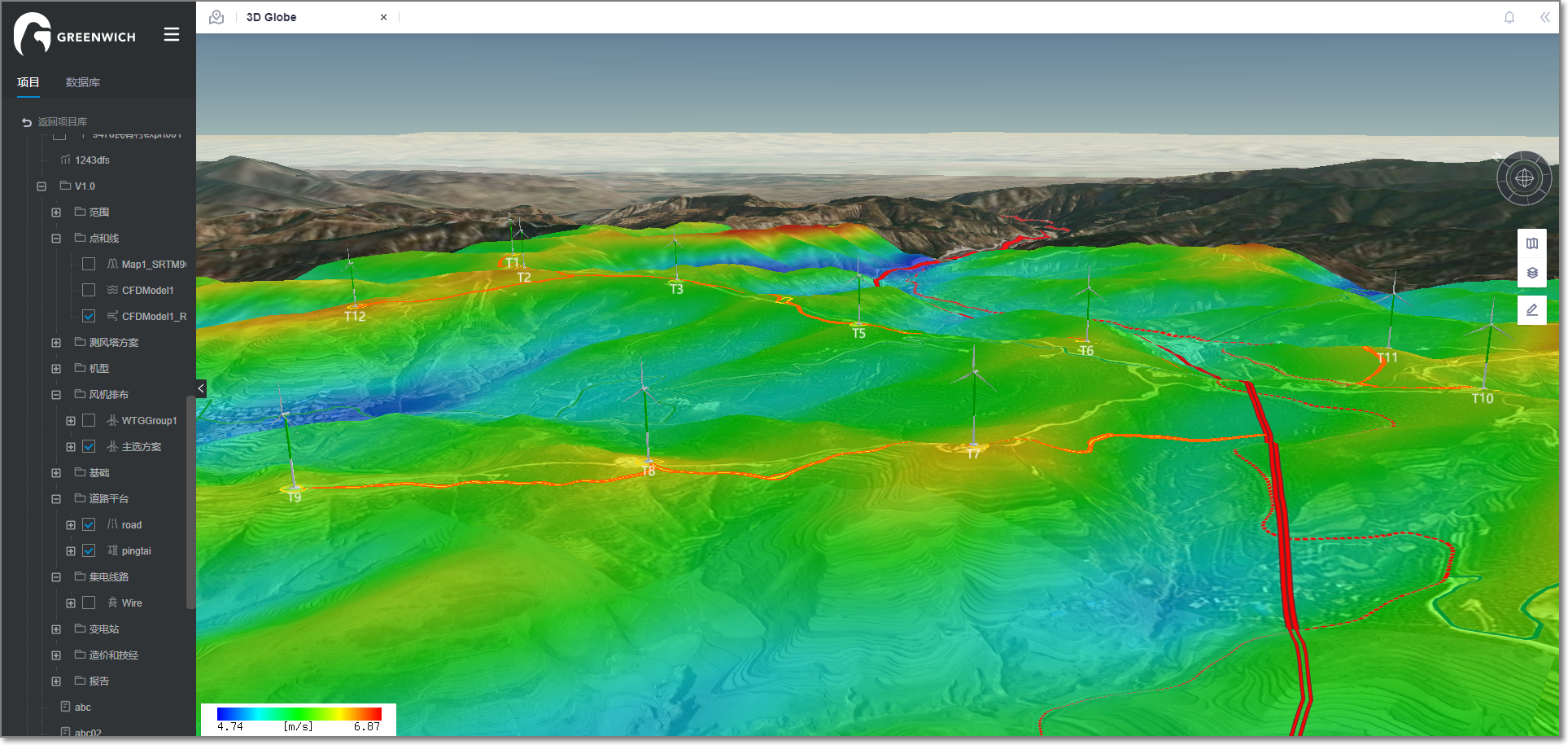
3D GIS
Update 3D GIS display. Support the linkage with the objects in the left navigation tree.
Planning and Siting
WTG-Group overview supports exporting one year-data file of all turbines or time series file of some turbines.

Improve calculation efficiency of applicability analysis over 30% by optimizing computing tasks.
Report
- Add wind direction chapter in English version of mast and microsite report